Community
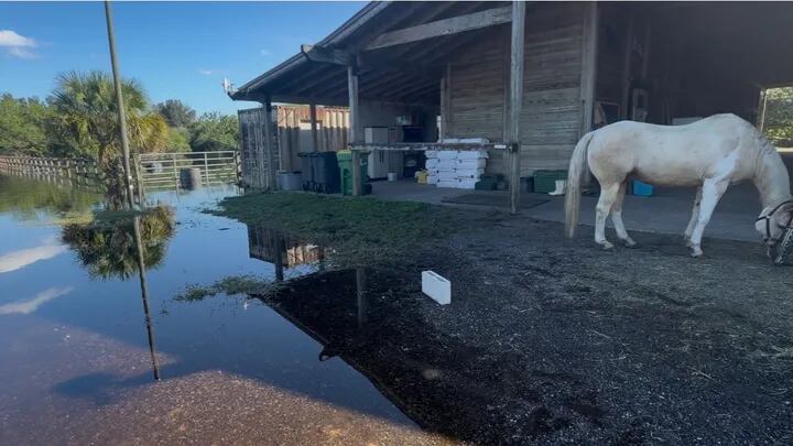
Harmony Farms suspends therapeutic riding due to flood damage
By Katherine Langford
Advertisement · Why this ad?
Marcus manages the day-to-day editorial workflow across all brands, coordinating coverage assignments and ensuring editorial standards are met. He previously served as city editor at the Pioneer Press and holds a degree in Political Science from Carleton College.
More from Marcus →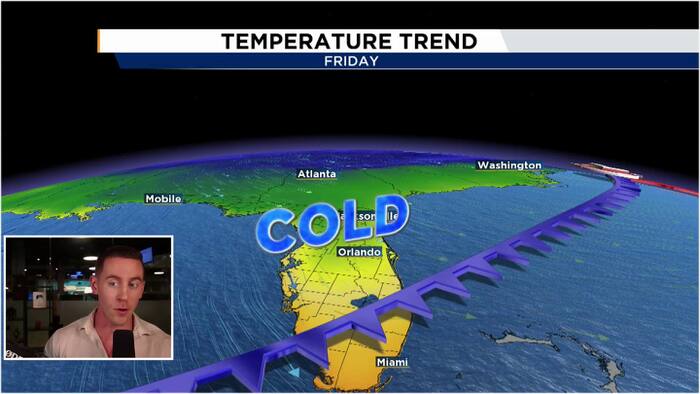
The first half of our work week features a slow and gradual warm up leading into mid-week before our next cold front crosses over the area. This cold front will be a strong one!TonightClear skies will reign this evening as dry air continues to sit over us in the mid levels of the atmosphere. Our clear starry skies mixed with a light northerly wind will allow temperatures to fall into the low 60s along the I-4 corridor, upper 50s to low 60s to the north and west of I-4, and mid-upper 60s along the 95 corridor and the coast. MondayOur warming trend slowly begins on Monday as our winds gradually introduce more of an easterly onshore component to them, dragging a tad more heat and humidity into the area. We will remain dry but will see a few more fair-weather clouds in our skies Monday afternoon. Highs will hit the low-mid 80s once again.Mid-WeekOur warming trend peaks by Wednesday as our winds shift out of the west ahead of our cold front. This will allow our high temperatures to climb in
By Katherine Langford

By Katherine Langford

By Marcus Chen

By Katherine Langford