
Community
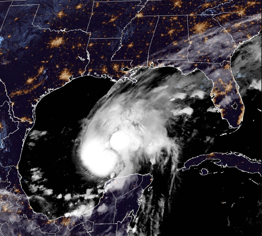
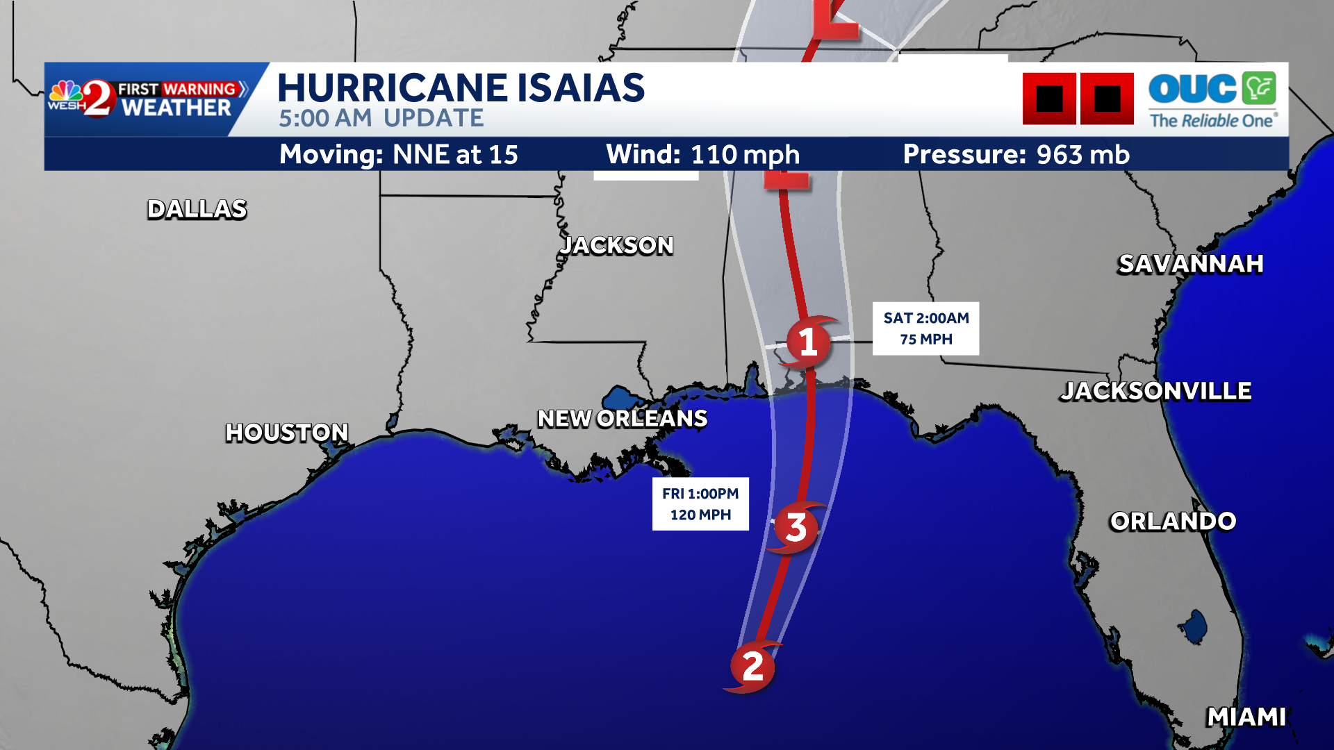
Isaias could become a major hurricane before landfall along Alabama-Florida border
By Marcus Chen
ClickOrlando Local
Advertisement

Central Florida will see another round of afternoon storms Friday and through the weekend, but a shift toward drier, less humid weather is finally on the way early next week.Meanwhile, Hurricane Isaias is expected to make landfall near the Florida Panhandle late Friday night. Click here for the latest on Hurricane Isaias.FRIDAYA front that has been stalled over Florida for several days is finally lifting north, which should mean fewer storms than yesterday. Rain and storm chances remain around 50% to 60%, with the best coverage this afternoon and evening.A few stronger storms could produce wind gusts of 40 to 50 mph. Storms should move along fairly quickly, limiting the overall flooding threat, although localized flooding remains possible where storms repeatedly move over the same areas.It will also feel very humid, with afternoon heat indices climbing into the upper 90s to low 100s.WEEKENDThe unsettled pattern continues Saturday and Sunday, with rain and storm chances increasing to 60
By Marcus Chen
ClickOrlando Local

By Katherine Langford
FOX 35 Orlando
By Katherine Langford
WESH 2 Orlando
By Marcus Chen
WESH 2 Orlando